-Photoroom")
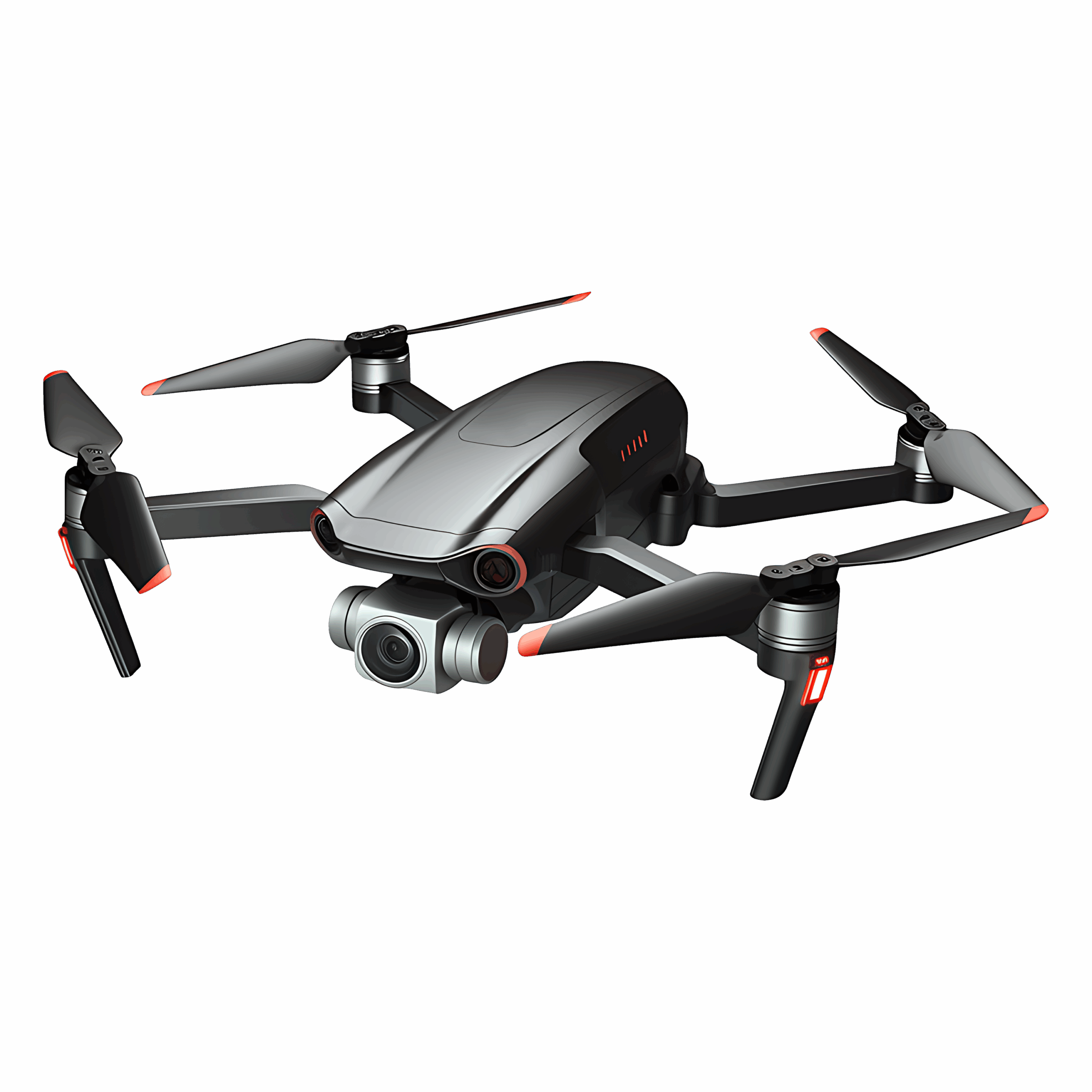
At U-SPACE DRONE , we prepare you to carry out safe, legal, and high-precision drone
inspections for key industries. Our EASA-certified training covers both theory and
hands-on practice for real-world applications like - Power Lines Electrical Substations
We train you in advanced geospatial data collection using:
- High-resolution photogrammetry
- LiDAR scanning & elevation modeling
- 3D terrain visualization
- Land & property survey methods
- Faster, cheaper, and safer than traditional surveys
- High precision data for engineering, mining & planning
- Fully compliant with EASA & industry safety protocols
Our training covers drone applications that optimize farm operations:
- Crop health monitoring with NDVI imaging
- Pest and disease detection
-Precision spraying & seeding techniques
- Soil moisture & nutrient mapping
- Reduce pesticide and water use
- Increase crop yield with real-time data
- Support sustainable, data-driven farming
Our emergency drone training prepares you to support:
- Wildfire detection & fire line monitoring
- Search & rescue (SAR) missions
- Flood zone mapping & disaster response
- Oil spill monitoring and coastal assessment
- Real-time thermal and situational awareness tools
- Faster response for rescue and firefighting teams
- EASA-certified training to fly in emergency zones legally
Pilots: Renew the license every 5 years by seminar or exam. Operators: Renew registration every 3–5 years, depending on your country, through your national portal

Our curriculum is designed for real-world drone operations — from security and
mapping to agriculture and emergency response.
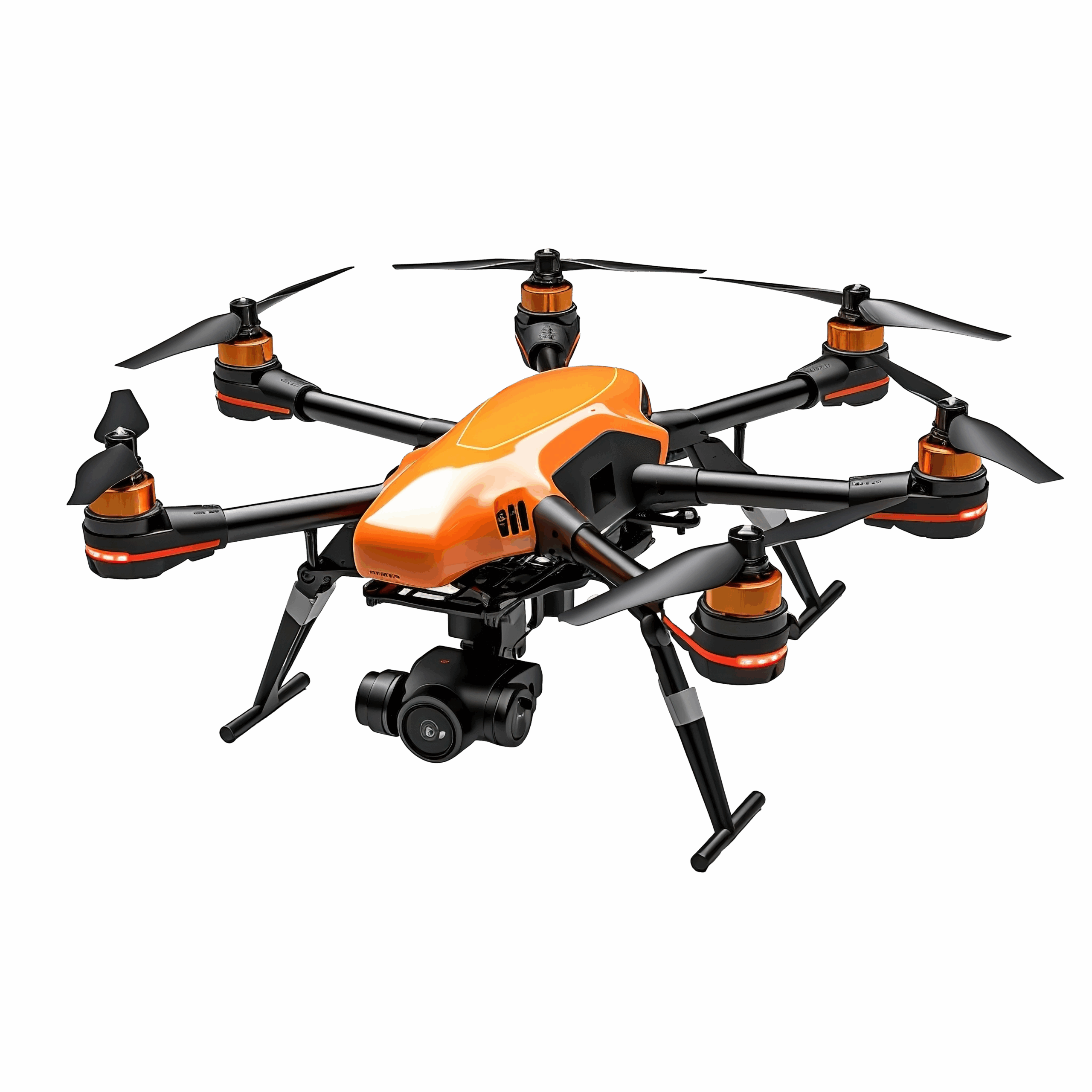
Advanced Tech, Smart Learning
Learn with the latest drone systems, flight simulators, and AI tools — all integrated into
your training experience.
Full Regulatory Alignment
Every course follows strict EU & Greek aviation standards, so your license is valid,
recognized, and ready for work.
Industry-Specific Training Paths
Whether you aim to work in infrastructure, farming, inspections, or emergency services
— we offer specialized tracks to match your career goals

Established based on expert studies from around the world, Gulf Air Academy is taking the aviation training industry to a new level by using state-of-the-art teaching technologies & methods, assuring the best quality of training for our Future Pilots.
Leof. Posidonos 13 Alimos 17455, Athens, Greece
Phone : +30 210 984 4175
Mail : [email protected]